

Read Our Blogs
Willis Vail's Photographic Negatives Become Park Property
In 1913 Willis Vail was the resident engineer for the massive steel viaduct construction project of High Bridge near Farmville, Virginia. He resided at the construction site and periodically took photographs that documented the construction process and those who were associated with it.
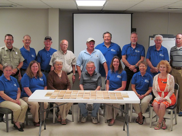
Nearly 100 years later, the negatives for these photographs were acquired by The Friends of High Bridge Trail State Park. The Friends actively participate in the support of the park through volunteer activities, advocacy and fundraising. The Friends held a “First to Cross” fundraiser earlier this year to raise money to purchase the Vail negatives. They sold tickets and the winner got to be the first to cross the newly renovated High Bridge at High Bridge Trail State Park in April of this year.
The winners of the “First to Cross” fundraiser earlier this year to raise money to purchase the Vail negatives.
High Bridge Trail State Park’s Education Specialist, Bob Flippen has done extensive research and found that Willis Vail took over 130 photographs that were recorded on 4”x5” glass negatives and placed in protective sleeves that were essentially the corners of correspondence envelopes trimmed to fit. On each was written a negative number, the date, time, weather, lens aperture and a brief description of the picture. The sleeves also provide informative clues. These photographs present fascinating insight into construction practices of a century ago and add to the historical significance of High Bridge.
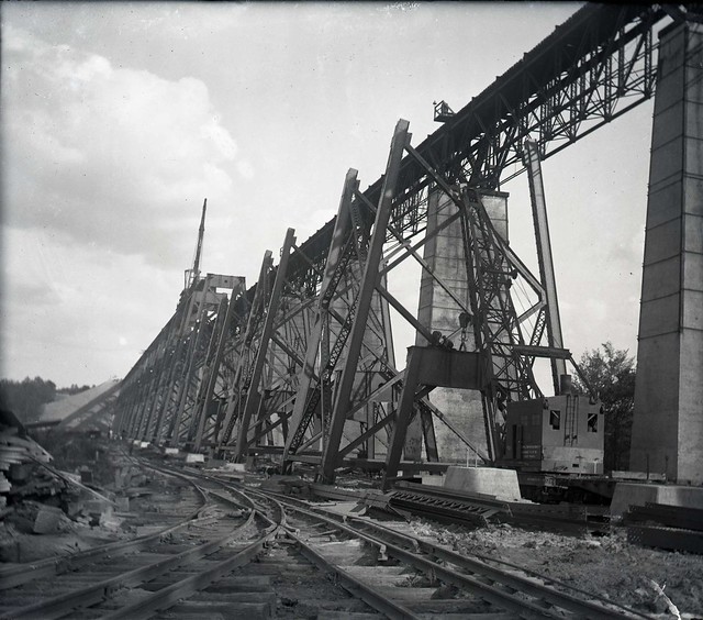
Willis Vail took over 130 photographs that add insight into construction
practices of a century ago.
The Friends recently donated their Willis Vail glass negatives to High Bridge Trail State Park. These famous and historical negatives will now be permanently archived and preserved at the Department of Conservation and Recreation’s Southwest Virginia Museum Historical State Park.
The Friends of High Bridge Trail recently donated the Vail negatives to the park to be preserved for future generations.
The photographs from these negatives are currently on exhibit at Virginia’s Heartland Regional Visitor Center located at 121 East Third Street in Farmville. The exhibit features a scale model of the original High Bridge plus dozens of Willis Vail glass negative images of the 1914 bridge on display. Stop here in the visitor center on your way to High Bridge Trail State Park, it is free and open to the public for viewing.
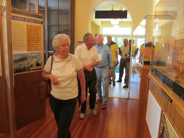
The exhibit at the Virginia Heartland's Regional Visitor Center features a scale model of the original High Bridge plus dozens of Willis Vail glass negative images.
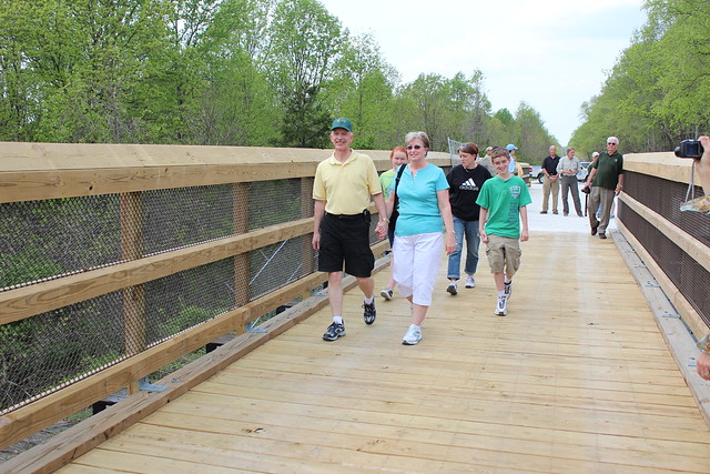
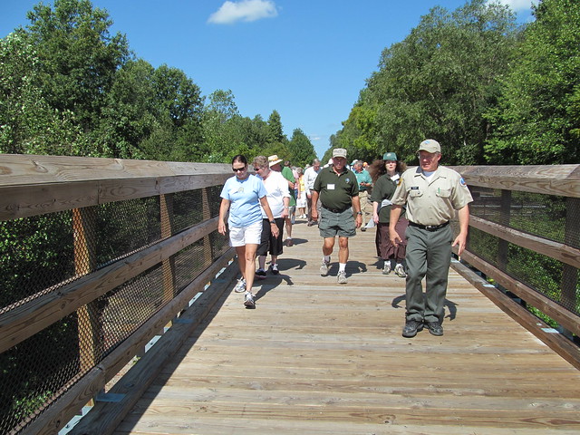
High Bridge Trail State Park is a 31 mile, multi-use trail ideally suited for hiking, bicycling and horseback riding. The trail, once a rail bed, is wide, level and generally flat. Its surface is covered with finely crushed limestone. The trail's surface and dimensions make it easy for people of all ages and abilities to enjoy it. Its centerpiece is the majestic High Bridge, which is more than 2,400 feet long and 125 feet above the Appomattox River. The original bridge was built in 1853 as part of the South Side Railroad. The current steel-tower bridge was completed in 1914. High Bridge is the longest recreational bridge in Virginia and one of the longest in the United States. More than 330,000 screws, 13,000 bolts of various sizes and 1,065 railroad ties were used to renovate the current bridge. High Bridge is a Virginia Historic Landmark and on the National Register of Historic Places.
The park's education specialist, Bob Flippen, hosts many educational programs throughout the year on the bridge and its history.
LOCATION: High Bridge Trail is 31 miles long and runs through Cumberland, Nottoway and Prince Edward counties and the towns of Burkeville, Farmville, Pamplin City, Prospect and Rice.
Entrances - Parking availability:
- Rice's Depot Road, 1/4-mile off U.S. 460 at Rice, near trail milepost 142
- River Road, three miles off N. Main St. in Farmville, near trail milepost 146
- Osborne Road, 1/4-mile off N. Main St. in Farmville, near trail milepost 149
- Municipal lots in Farmville where the trail intersects with Main St. near trail milepost 150
- Tuggle Road, off U.S. 460 and near U.S. 15 North, near trail milepost 156
- Prospect Road, off U.S. 460 at Prospect, near trail milepost 161
- Elam, off U.S. 460 at Sulpher Spring Rd., near trail milepost 164
- Heights School Rd., of U.S. Business 460 near Pamplin, near trail milepost 168


If you have read the article and have a question, please email nancy.heltman@dcr.virginia.gov.


