Department of Conservation and Recreation
Conserve. Protect. Enjoy.
Department of Conservation and Recreation


To date, DCR-DNH has conducted 24 workdays, approximately one per quarter since April, 2018 apart from two years due to COVID. Preliminary goals were to reduce the spread of invasive species out of the work area by eliminating reproductive individuals and establish an ecological and floristic baseline to monitor long-term floristic changes in the work area. Long term goals are to eradicate all invasive species from the work area and continue to monitor the area for vegetation recovery or reinvasion of invasives.
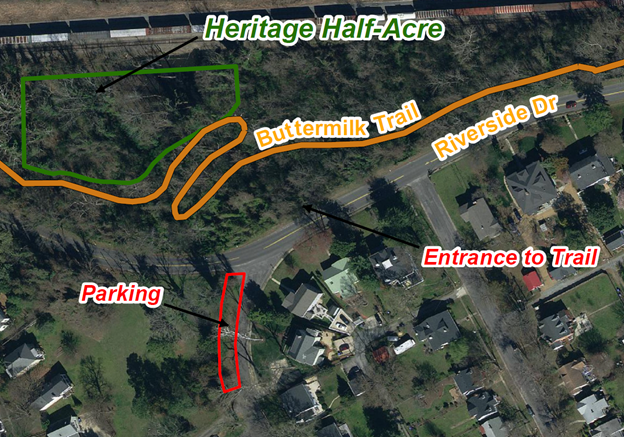
A 10 x 10-meter vegetation plot was established in April 2018 and resampled in April 2024, with sampling methods directly comparable to those used across Virginia. The plot is permanently marked. All plant species were recorded in cover classes within nested subplots. An overall plant list outside the sample plot along with their general abundance is being maintained. A numeric tally and diameter measurement for each woody stem >1m in height is being implemented; to-date all large trees (>10cm dbh) have been measured, and smaller trees have been recorded, apart from those in the 1-3 cm diameter class.
The most frequent tree (>10 cm) is Box Elder (Acer negundo), but Ash (Fraxinus sp.) currently comprises the highest basal area due, in part, to two >80cm dbh individuals, and three individuals >50 cm (NOTE: ALL ALIVE and seemingly healthy as of September 2019, a few unmeasured/completely dead stem in standing water). Both Sycamore (Platanus occidentalis) and Tulip Poplar (Liriodendron tulipifera) are represented by individuals greater than 100 cm, but in terms of combined basal area Platanus, Liriodendron, Ulmus, and Celtis are approximately equivalent.
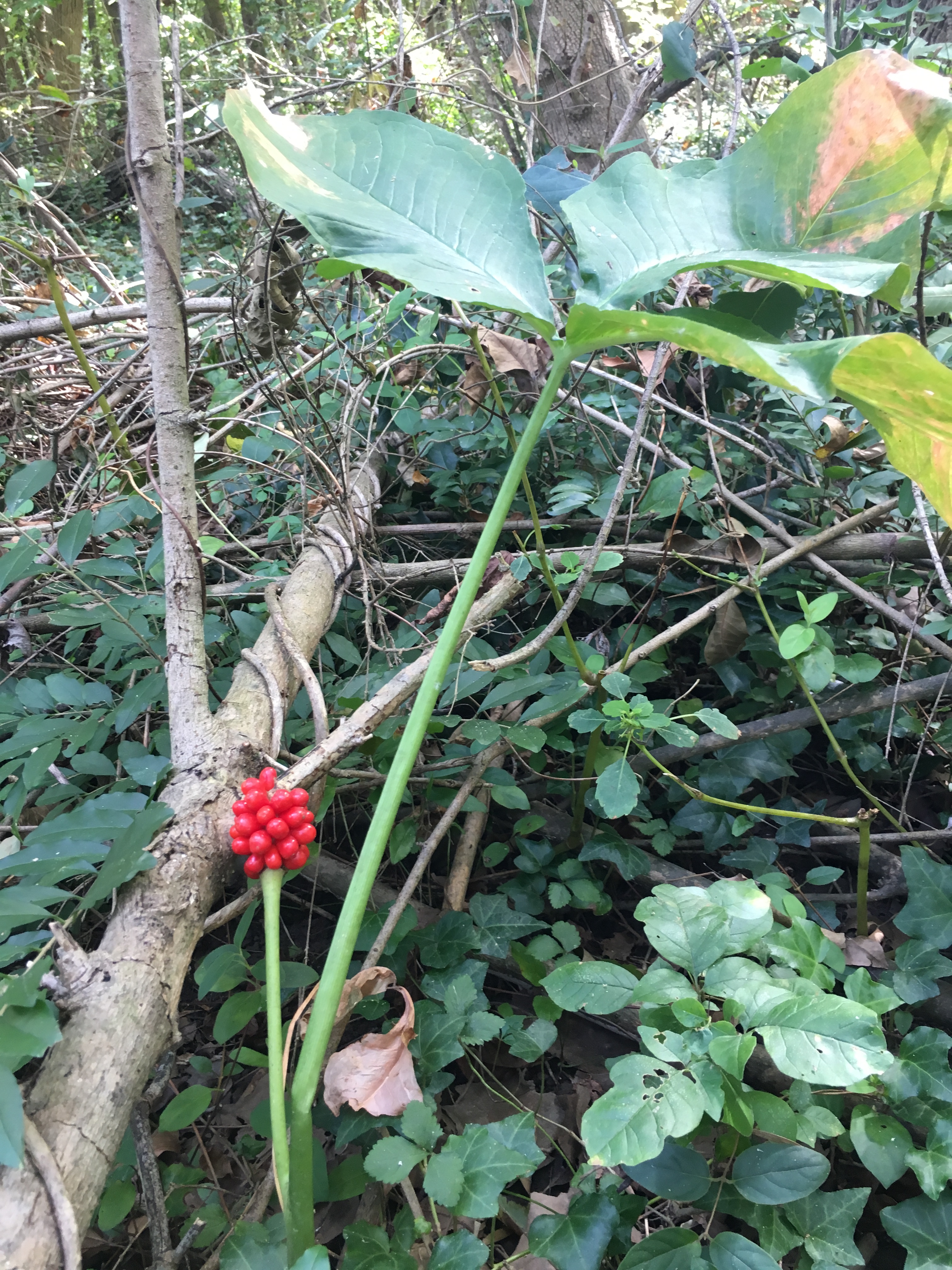
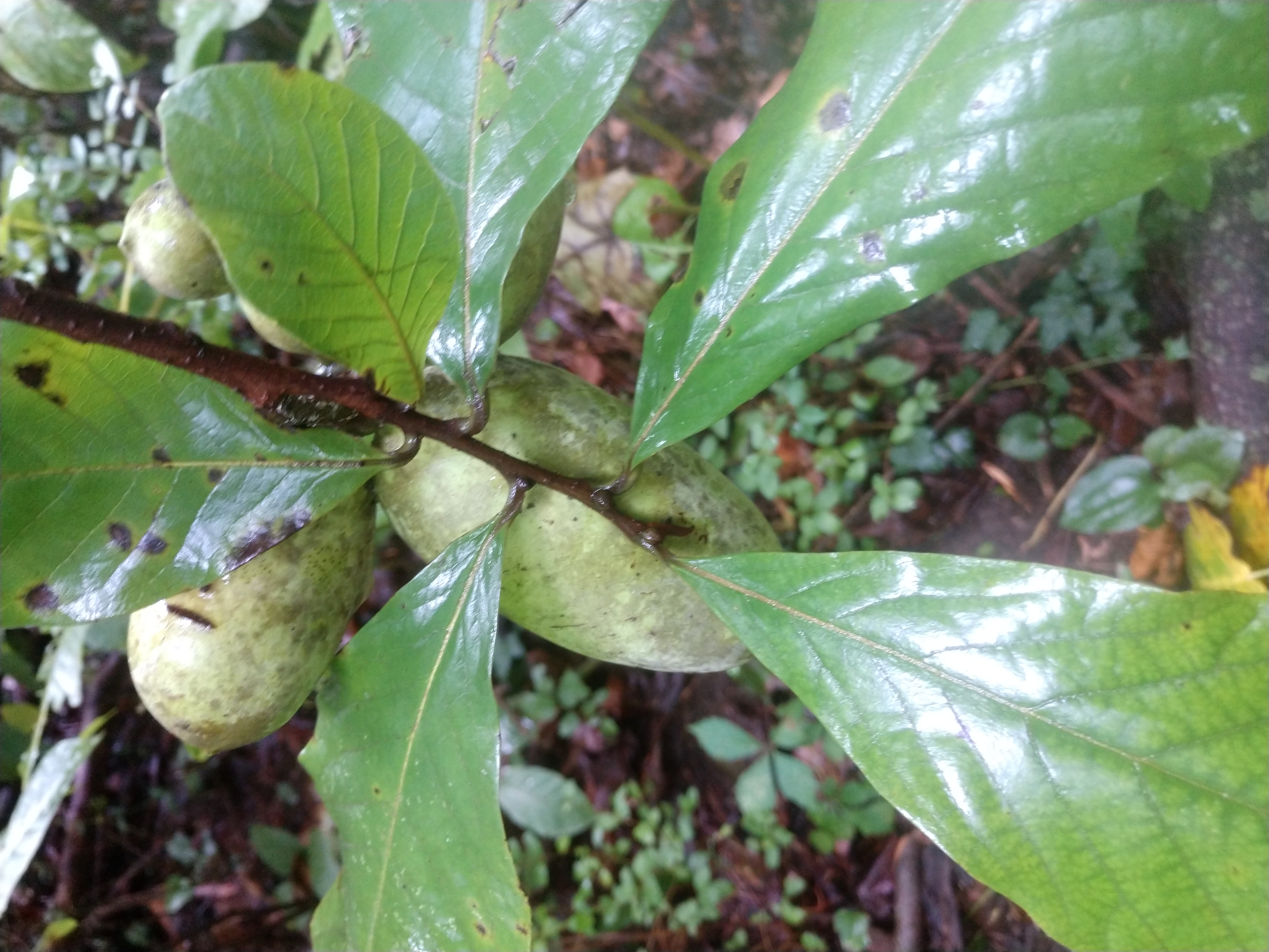
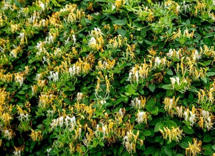
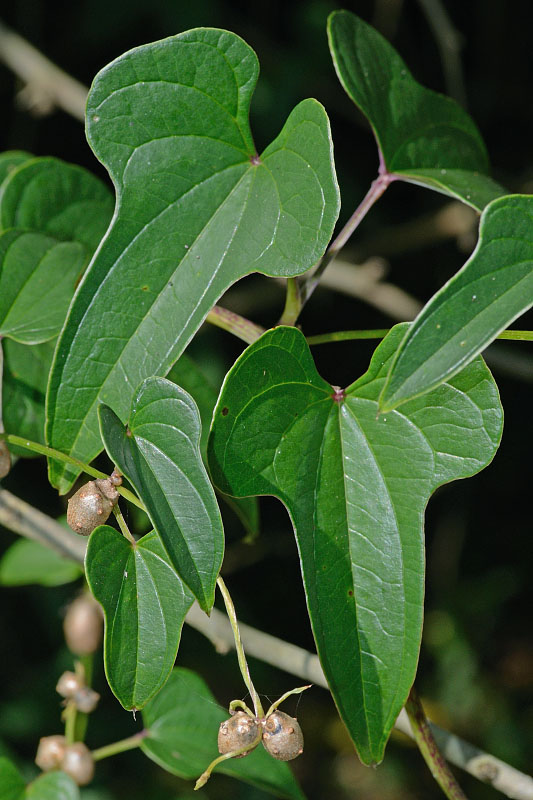
Paw Paw(Asimina triloba) is abundant and dominant in the midstory layer with a much lower amount of Spicebush (Lindera benzoin). A significant and dense grove of Sweet Gum (Liquidambar styraciflua) is present and dominant along the northeastern perimeter closest to an impounded area. Worthy of special note are several stems of Sugar Maple (Acer saccharum), since they occur here outside their native range in VA. Accordingly, they are listed in Table 1 in the Invasive Species tab below as an invasive species. The small existing trees are currently found in the midstory but are likely to enter the canopy in the future unless control actions are taken.
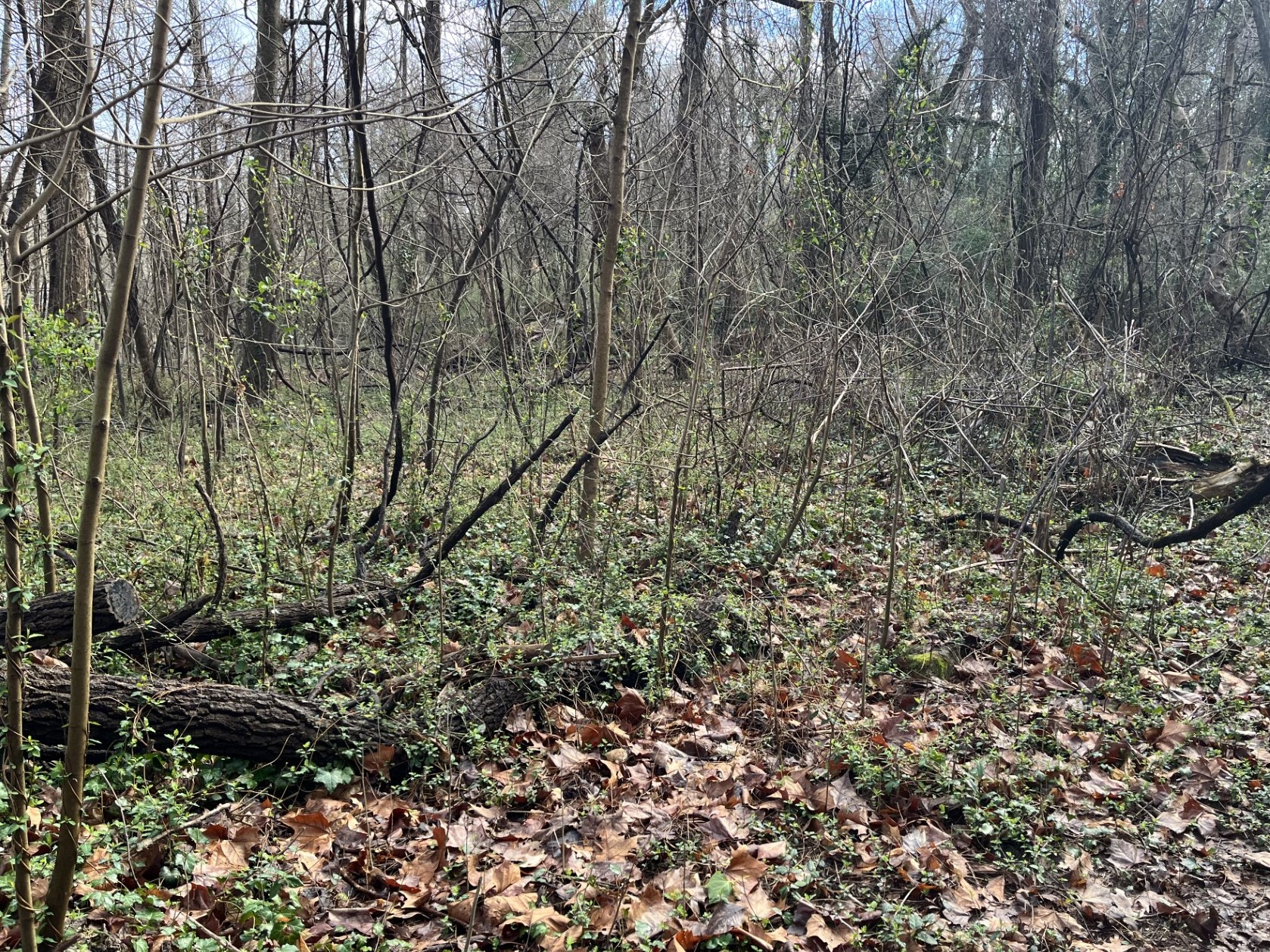
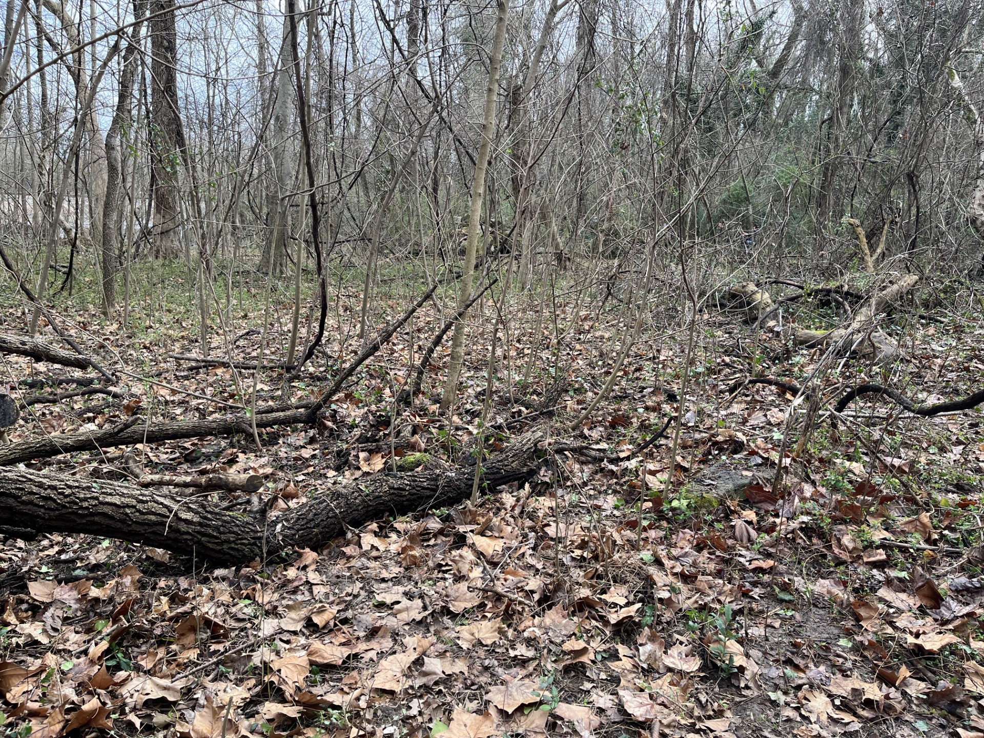
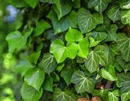
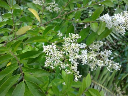
Table 1. Invasive Plants at the HHA
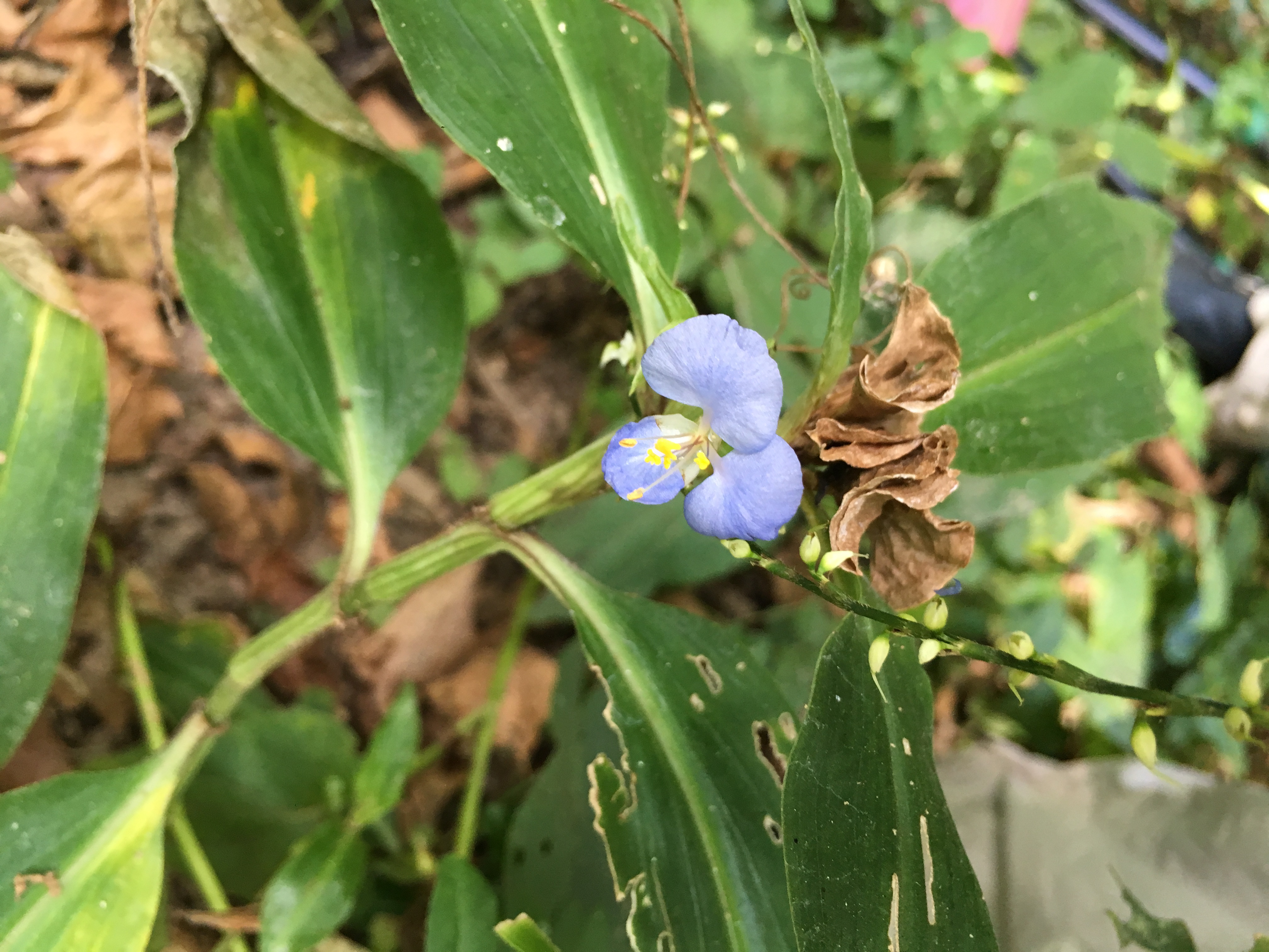
To date, some 38 native plant species have been documented in the study area. This list is being maintained and may change as more work is undertaken.
Table 2. Native Plant Species at the HHA