Open fires are prohibited throughout the park from midnight to 4 p.m., Feb. 15 through April 30. Learn more.
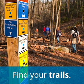
Trails for hiking, biking, horses, etc.
It's no wonder hiking is among the most popular activities in our parks. Escape the crowds, breathe fresh air, observe wildlife and view stunning scenery that only Virginia can offer. Hiking is low impact, inexpensive, keeps you fit, strengthens bones and keeps the pounds off. It works the entire body and the mind by reducing stress and improving sleep quality.

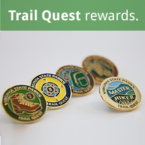
More than 160 of the park system's 700 miles of trails are reserved for hiking, and hiking is allowed on more than 397 miles of multi-use trails. You can even earn rewards by participating in Virginia State Parks' Trail Quest. Earn attractive hiking stick pins for visiting the parks you love anyway.
Detailed GIS-based maps of park trails are available online.
Park trails accommodate other activities including, biking, mountain biking and horseback riding, and many parks have universally accessible trails. Learn about a particular park's trails by visiting the park page and finding "Trails" under the "Recreation" menu item at the left of the page, and each park's webpage links to its trail guide and park trail maps..
Find a Job at
Virginia State Parks

Order your Virginia State Parks
license plate