Open fires are prohibited throughout the park from midnight to 4 p.m., Feb. 15 through April 30. Learn more.


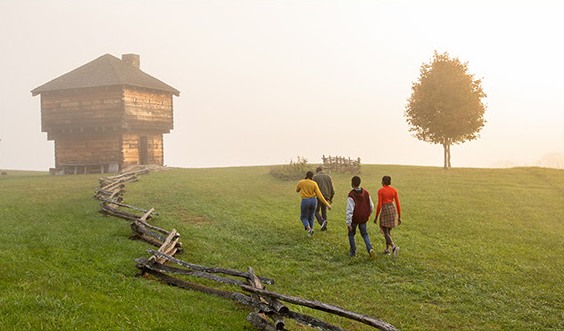
You'll find plenty of programs, events and activities at Virginia State Parks. Our 44 parks have thousands of campsites, hundreds of cabins, more than 700 miles of trails and convenient access to Virginia's major waterways. Beaches, picnic shelters, lodges, meeting facilities, festivals, concerts, nature programs, cultural happenings... the list goes on. From Cumberland Gap to the Atlantic Ocean, there's something for everyone at Virginia State Parks. Whether you're after a relaxing picnic or a two-week vacation, leave life's daily pressures behind and reconnect with nature and family at a nearby state park.
READ OUR BLOG

WHAT'S NEW