Department of Conservation and Recreation
Conserve. Protect. Enjoy.
Department of Conservation and Recreation


Between 2001 and 2016, the population of Virginia increased by almost 17%, from 7.19 million to 8.41 million. During the same time period, the amount of developed land area increased by almost 7%, from 2.36 million acres to 2.52 million acres. Meanwhile, we have seen losses in forests and other natural land cover, as well as in agricultural lands. An interactive map of land cover change in Virginia can be found here.
Virginia's undeveloped lands provide habitat for diverse flora and fauna, scenic vistas, recreational opportunities, access to cultural and historic sites, protection of water quality, carbon sequestration and other ecosystem services, along with the economic benefits associated with these functions. Development pressure will continue to increase along with population growth. Thus, a vision for strategic land conservation is critical if we are to develop needed infrastructure while preserving our natural and cultural heritage for current and future generations.
Green infrastructure is "a strategically planned and managed network of natural lands, working landscapes, and other open spaces that conserves ecosystem values and functions and provides associated benefits to human populations."1 Green infrastructure planning involves the coordination of "conservation values and actions in concert with land development and growth management."2
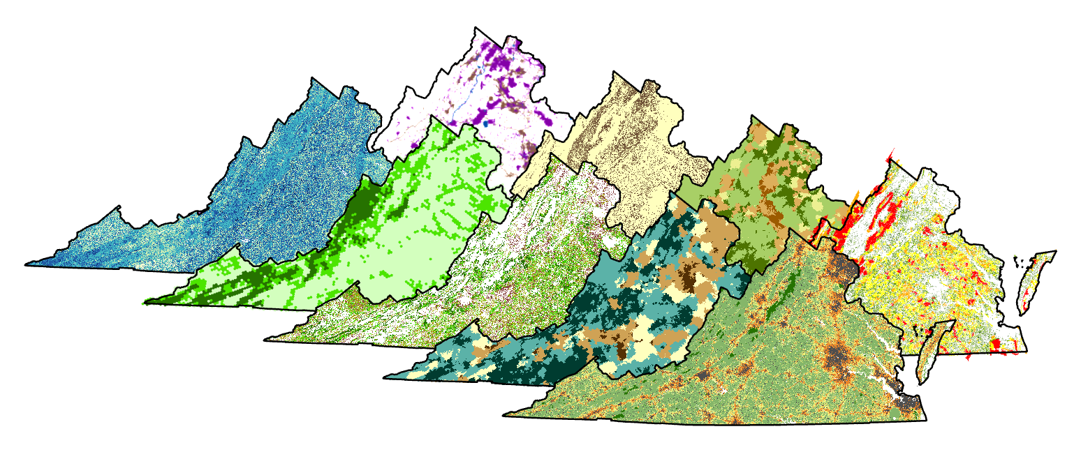
Virginia ConservationVision is a digital atlas for green infrastructure planning. It consists of a suite of maps and spatial data, intended as a resource for guiding strategic conservation efforts by government agencies, private conservation organizations, and regional and local planners. The Virginia Natural Heritage Program and its partners use Geographic Information Systems (GIS) to develop spatially explicit models evaluating the importance of areas for diverse interests. The models include:
The Virginia Land Conservation Foundation uses some components of ConservationVision to prioritize grant funding for conservation land acquisition. Virginia's land conservation strategy, ConserveVirginia, also incorporates the highest priorities from several of the ConservationVision datasets to identify statewide priorities for land protection.
We encourage local and regional agencies and conservation organizations to use Virginia ConservationVision to help plan and implement conservation actions. ConservationVision provides multiple data layers that can be weighted and combined in different ways to reflect the concerns of a variety of conservation partners, and to offer practical uses for a diversity of needs. These data may also be combined with other data sets as desired to provide a more complete picture of the needs and concerns in a given area.
Spatial layers are available for interactive viewing and mapping on the Natural Heritage Data Explorer and ArcGIS Online. In addition, spatial data suitable for use in desktop GIS applications can be downloaded from the individual model pages linked above. Static PDF map files, suitable for a more general overview, are also available.
As you use these data sets, be sure you have a full understanding of what the data represent, and make sure they are suitable for your purpose. Technical documentation is available to help you make this assessment, and a contact person is listed for each model so that you may reach out with any questions you may have.
Remember that the data were prepared at a state-wide scale, and cannot possibly incorporate all the details you may need at more local scales. We fully expect these data to be used in conjunction with additional datasets that reflect local conditions. There are no legal or regulatory requirements associated with Virginia ConservationVision, nor should ConservationVision serve as sole justification for any activities.
DCR and its partners will continue to update Virginia ConservationVision over time. If you have specific suggestions for model improvements, please reach out and let us know. We welcome your input.
| Joseph T. Weber Joseph.Weber@dcr.virginia.gov Information Manager Phone: (804)371-2545 |